bout de papier, Vol. 20, No. 2 (2003) — Fall/Winter 2003 // Automne/Hiver 2003, pp. 30–37
Except for the USA, and the French islands of St. Pierre and Miquelon off the southern coast of Newfoundland, the closest foreign land to Canada is the Danish possession of Greenland. It is the world’s largest island (not counting Australia), yet has a total population of under 60,000. The vast majority of the population live in a series of coastal villages and towns along the west coast of Greenland across from Baffin and Ellesmere Island.
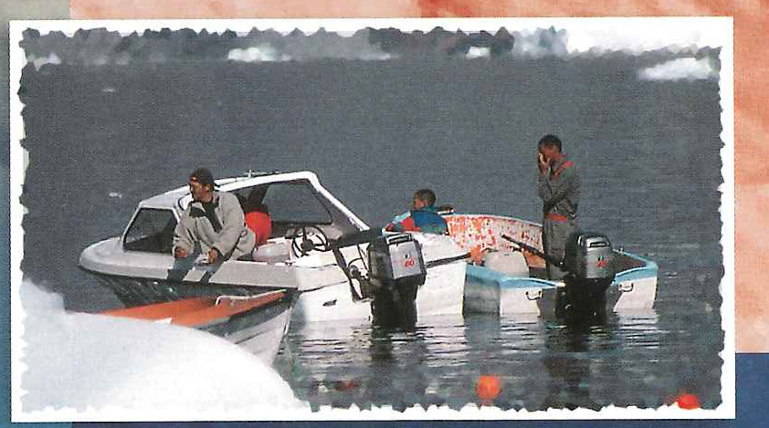
Yet the relative physical proximity with Canada has not meant particularly extensive ties. Indeed, one of the after-effects of the September 11, 2001, terrorist attacks and subsequent decline in airplane passenger loads was the elimination of the last regularly scheduled direct flight between North America and Greenland. However, in 2003 a Winnipeg-based company, Great Canadian Travel, was leasing a charter aircraft which flew once weekly between Iqaluit and Aasiaat, in the Disko Bay region north of the Arctic Circle. The flights, which only operated between the end of June and early September, were via a cozy 10-seater KingAir propeller plane leased from Air Nunavut. On both the outgoing and return flights, I was the only Canadian passenger. On the way up from Ottawa, there was a compulsory overnight stopover in Iqaluit. On the return it was possible to leave Aasiaat in the morning and be in Ottawa by mid-afternoon. Otherwise, the alternative air entry to Greenland is via Denmark or Iceland. measure. The topography is stark and dramatic. Most of the country is covered by an icecap which, in places, is over 3000 metres thick. The profusion of often enormous icebergs along the coastal waters is stunning. Over 80 percent of the population is Inuit. One striking and obvious difference between Arctic Canada and Greenland is the significantly higher standard of living in Greenland. In order to maintain this standard of living, the government of Denmark provides subsidies which amount roughly to US $10,000 per Greenlander annually. This ensures that the majority of residents are able to enjoy something close to a Scandinavian standard of living. Aasiaat and Uummannaq, in particular, looked pleasant and prosperous, and most people live comfortably in painted wooden houses with most modern amenities. In the Disko Bay region, as well as Uummannaq, fishing is the mainstay of a significant part of the population.
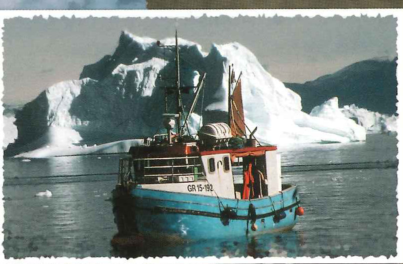

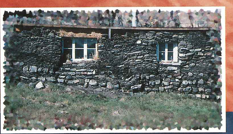
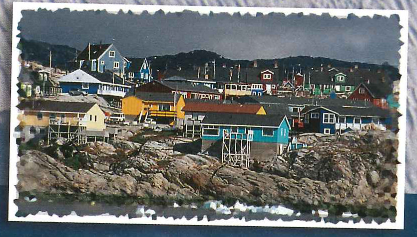
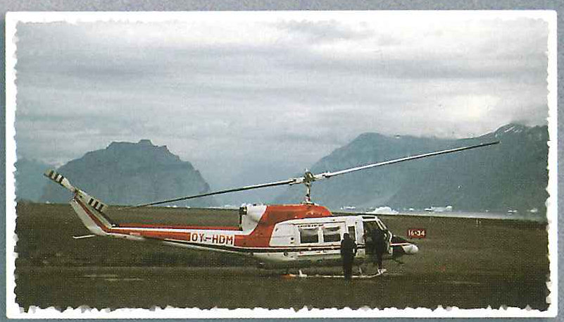
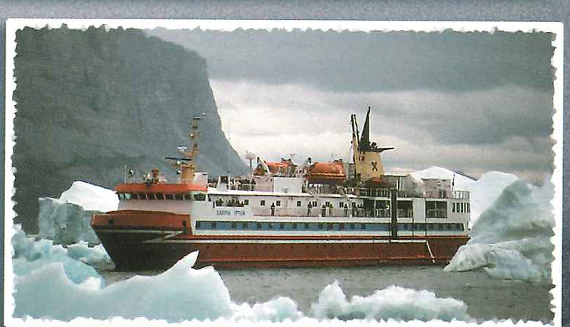
Travel during the summer months is via ferry, airplane or helicopter. The terrain is sufficiently mountainous along the coast where the population lives that only a few of the villages have enough flat space to accommodate an airstrip. From Aasiaat I flew north to the airfield of Qaarsut on the Nuussuaq peninsula and then on by helicopter the remaining 21 kilometres to Uummannaq Island. From Uummannaq I took a sixteen-hour coastal ferry, the Sarfak Ittuk, to Illulisat. Three days later I continued by another coastal ferry, the Sarpik Ittuk, back to Aasiaat. Despite its northerly location, well above the Arctic Circle, the combined population of the five towns of Disko Bay exceeds 12,000.
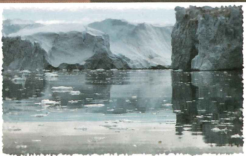
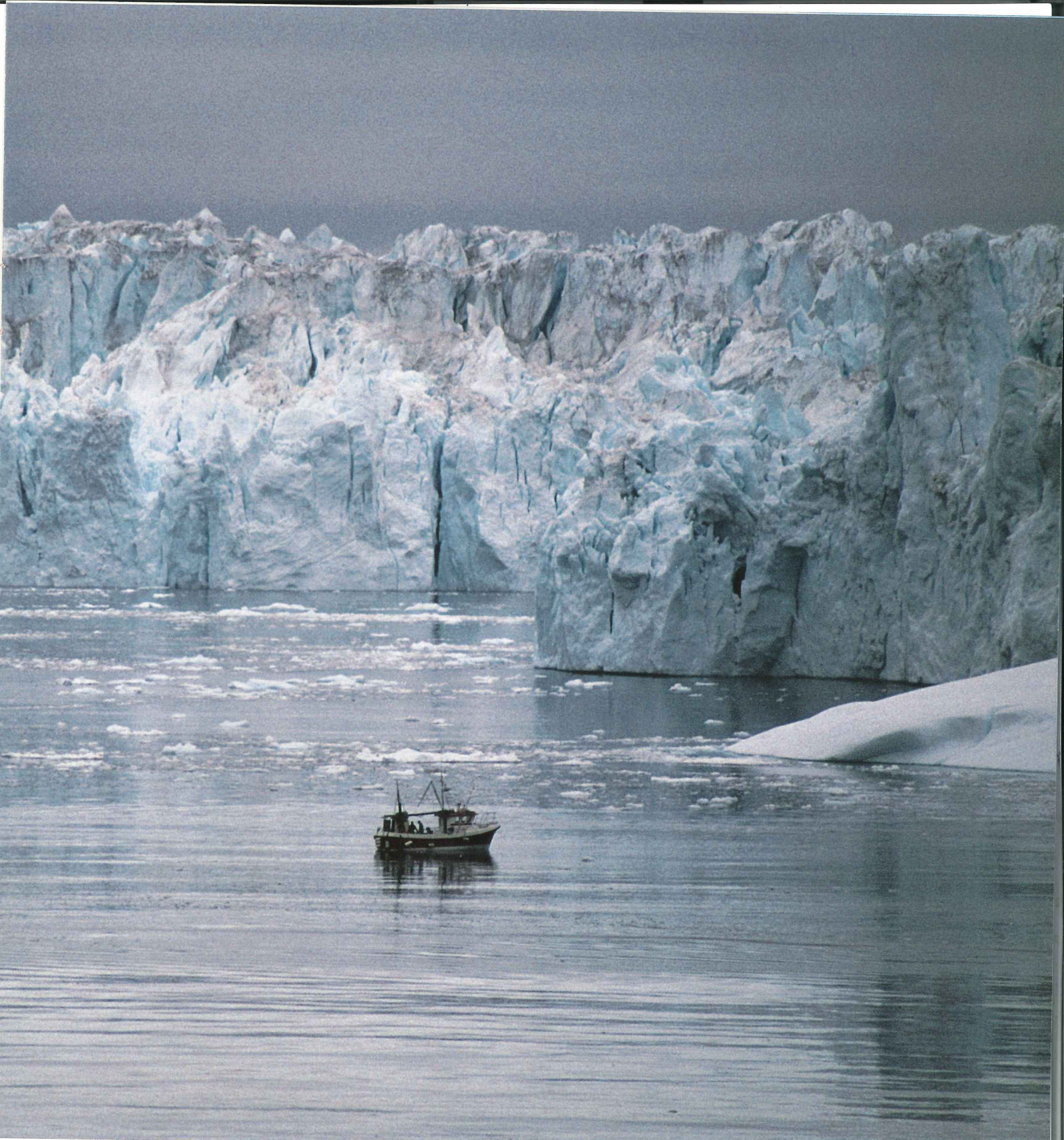
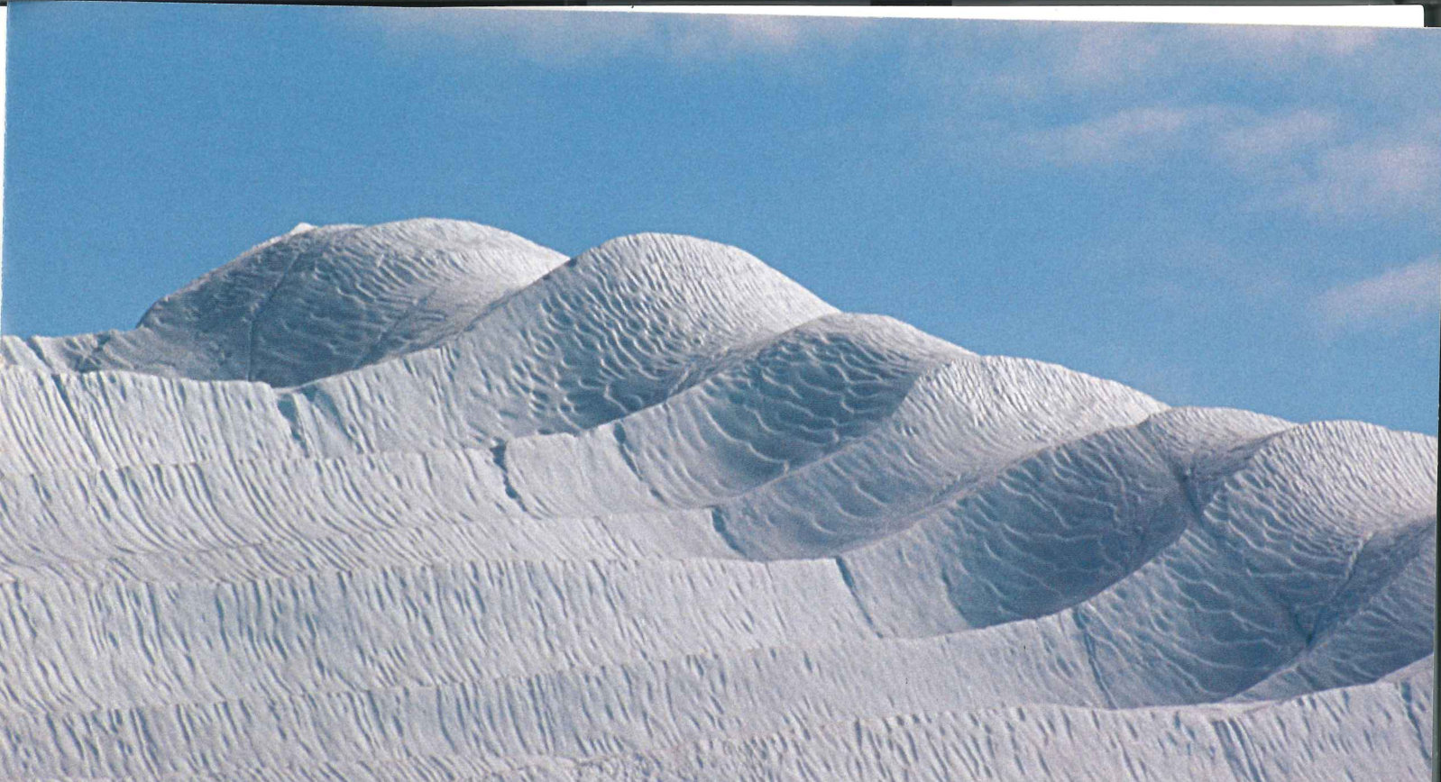
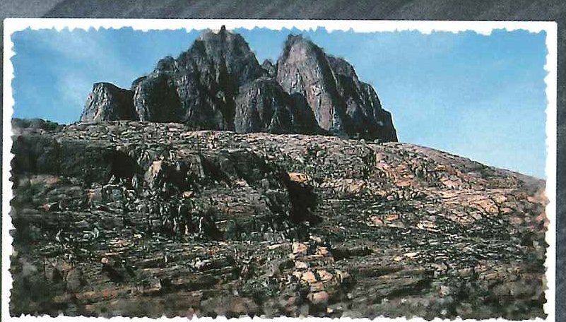
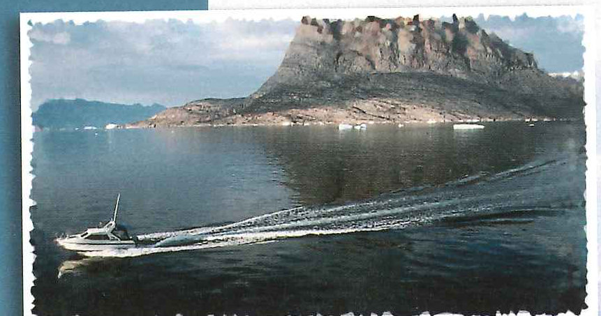
Uummannaq Island, north of Disko Bay and the Nuussuaq peninsula, is crowned by an 1170-metre-high mountain composed of red basement gneiss. There are wonderful opportunities for hiking on the island. While the profusion of icebergs in the harbour and the surrounding coastal waters is not as pronounced as in Illulisat, it still remains an extremely impressive sight. Glaciers descend from the edges of the mountain peninsulas to the north and south of Uummanaq. edge of Illulisat town. One can view the Icefjord by hiking along a series of trails at the edge of town. One can get even closer to the Icefjord and icebergs by taking a boat into the centre of the fjord. The glacier is five kilometres wide and 1100 metres thick, though only 80 metres of the glacier edge is above the surface of the water. It is the world’s most prolific glacier for producing icebergs outside Antarctica. It alone is estimated to produce more than 10 percent of the estimated 15,000 glaciers that calve into Greenland’s coastal waters annually. Many of the icebergs are five or six stories high, impressive enough even before calculating that close to 80 percent of the surface of an iceberg when it calves is underwater. Unlike icebergs seen further south, many of the icebergs emerging from the glacier are still sharp edged on the upper surface. Over time, the part of the iceberg below the surface gradually melts until the balance is altered to the point that the iceberg turns over onto its other side. This is why the boats must be careful not to approach the sharp-edged icebergs too closely. Once the iceberg has turned over, it then has the smoother and more rounded features familiar to travellers who see them when they pass hundreds of kilometres further south off the coast of Newfoundland and Labrador. Once the icebergs reach this denser state, then close to 90 percent of the icebergs’ size will be below the surface of the water.
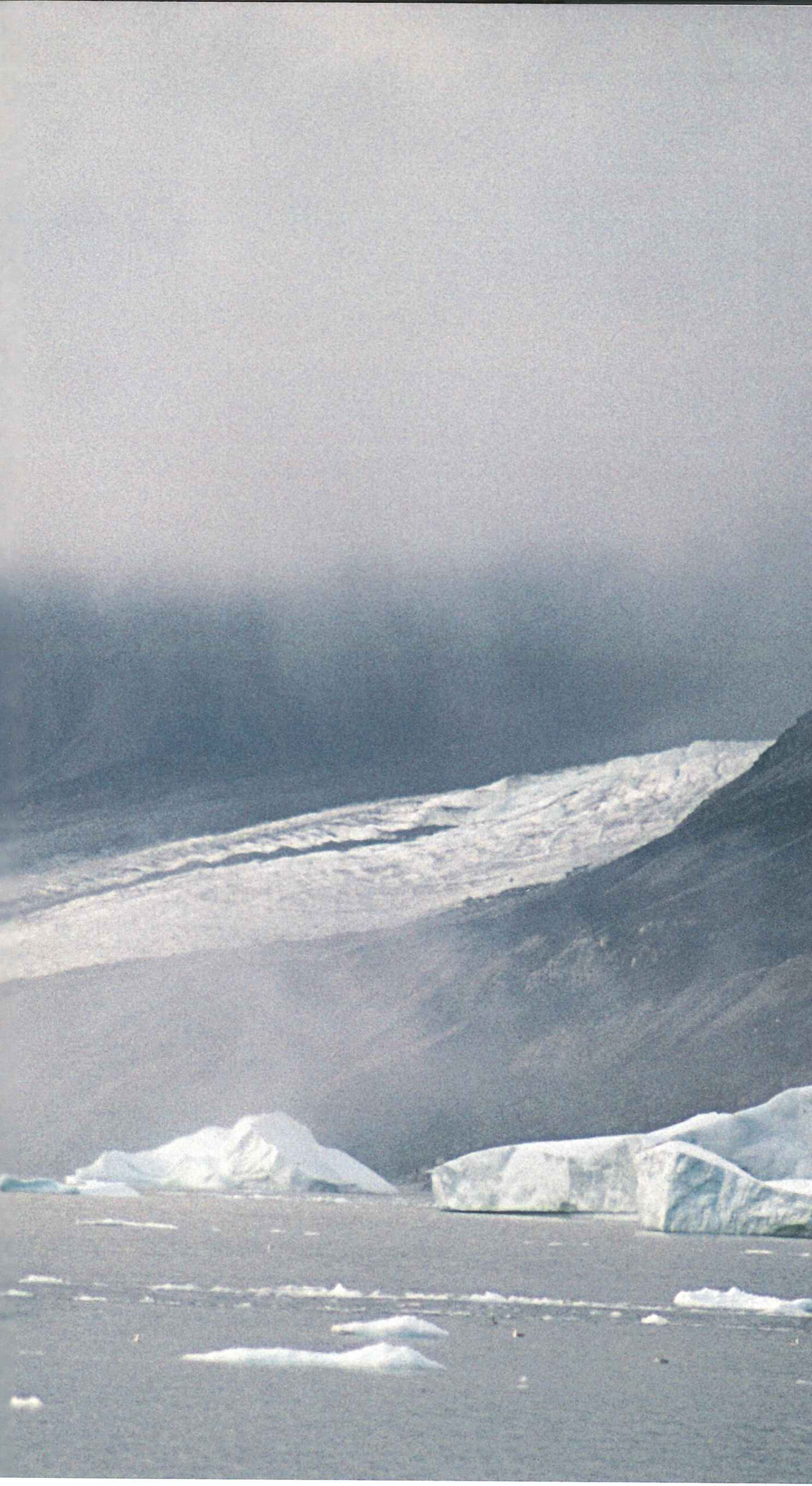
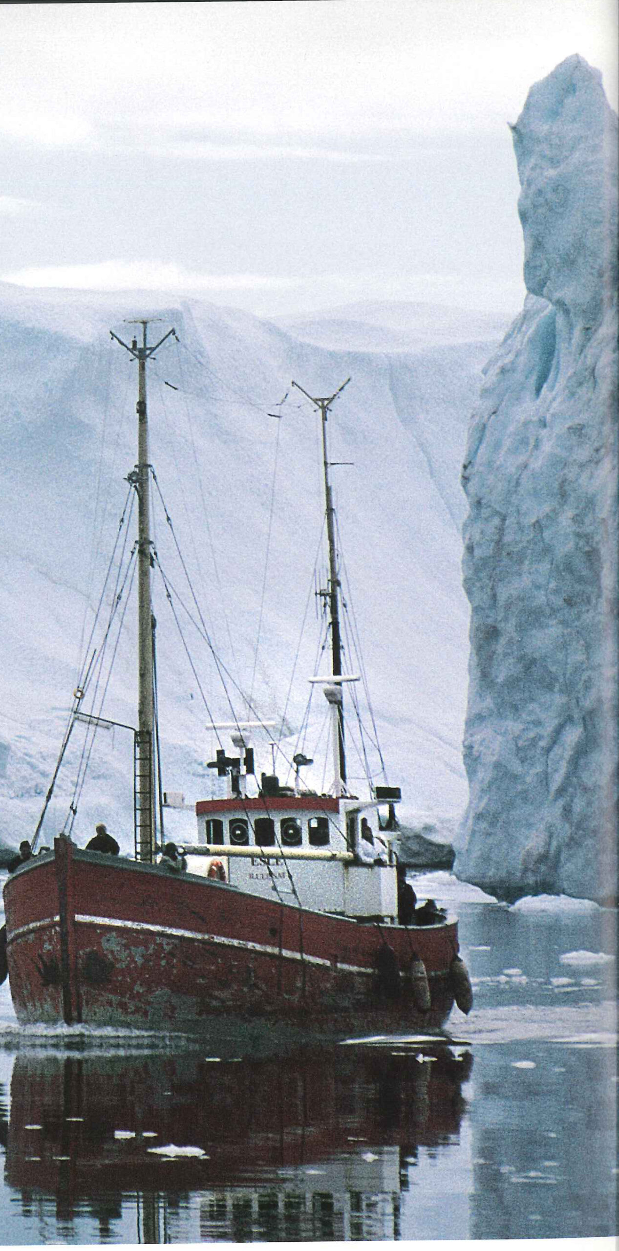
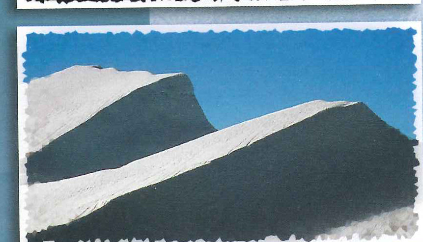
The icebergs evoke numerous images and portray different characteristics in the sun, when overcast, or in the rain. It is an almost primeval image to drift quietly by boat through the fjord and see the icebergs towering overhead, perhaps the ultimate highlight in an already magical land.
View the original scanned pages →
Originally published in bout de papier, Vol. 20, No. 2 (2003) — Fall/Winter 2003 // Automne/Hiver 2003, pp. 30–37. Read the rest of this issue →