bout de papier, Vol. 11, No. 3 (1994) — Fall 1994 // Automne 1994, pp. 34–37
Story and photos by Vaughn Lantz
It is one o’clock in the morning when my alarm clock sounds. Bipin, my guide, begins to stir, and I slowly begin to awake from a short night’s sleep. Outside the tent, the temperature is cold (minus 15°C), but the sky is clear. At 17,000 feet, the moon and the stars are incredibly bright, and we can barely make out the shapes of the high mountains that surround us. A bowl of Rara soup and a large mug of tea help to take some of the chill out of the night and the sleep out of my eyes. As I pack up the stove, Bipin is double-checking our ice tools, ropes, and harnesses. Ever cheerful and smiling, he gives me the thumbs-up sign to indicate that we’re ready to begin the ascent. Somewhere in the darkness above is the summit of a 20,000 foot Himalayan mountain that we hope to reach by mid-day.
A mountainside in Nepal seems worlds away from an office in Ottawa. However, finding myself with some spare time last November and December, I decided to fulfill a long-time dream of visiting this Below: From the top of the Pearson Building to the country. Nepal is a small land-locked Kingdom nestled between the northern border of India and the southern edge of Tibet. Although geographically small in comparison to its neighbours, the country is famous for the many high Himalayan peaks located within its borders. Eight of the ten highest mountains in the world are found here, including Mount Everest which rises to a height of over 29,000 feet. In addition to spectacular mountain scenery, the country offers a remarkable diversity of flora and fauna as well as a rich variety of cultural and religious backgrounds.
Flying into Kathmandu, one cannot help being impressed by the awesome beauty of the high mountains and the lush valleys that surround the capital. Foreign travel within Nepal is still strictly controlled. As a result, all tourists require trekking permits to visit outlying regions of the country. Mountain climbing requires an additional permit as well as the services of a guide. A large number of trekking agencies have sprung up in the city and can assist in these arrangements. I hired a guide and organized a five week trek and climb in the Khumbu region of Nepal through one of these agencies.
A few days spent in Kathmandu can also allow one to experience the many sights and sounds of this fascinating city. An incredible assortment of crafts, food, and spices can be bought from venders on every street. Thousand year-old Hindu and Buddhist temples of all shapes and sizes are found throughout the city. Religious pilgrims, porters, and local merchants crowd the busy streets and markets. The sounds of the market, together with the ringing of temple bells and the blaring of horns, constantly fill the air. At night, these sounds are replaced by the incessant barking of the wild dogs that roam the city.
Leaving Kathmandu, one is immediately struck by the relative absence of noise, the freshness of the air, and the slower pace of life found in the villages outside the city. Riding on the roof of the bus to avoid the congestion inside, I was able to get a clear view of the surrounding countryside with its terraced farms, broad valleys, and large rivers coming down from the higher mountains. As the road began to snake its way through some of the middle mountains, I was also able to get a sense of how steep some of these valleys are as I struggled to maintain my balance and keep from being thrown off the top of the bus.
Owing to the difficulty of the terrain and the relative poverty of the country, Nepal does not have an extensive system of roads. Approximately two hundred kilometres outside Kathmandu, the road to the Khumbu region suddenly ends at the village of Jiri. From there, all travel is by foot. As Bipin and I set off up the trail, I quickly got a sense of what the next five weeks were going to be like. Trails in the Himalayas are anything but flat, and within a few hours I could feel the strain on my back and legs. The first ten days of the trek were to involve a net altitude gain of only 5,000 feet. However, because the path to Khumbu crosses several mountain passes and river valleys, this part of the hike actually involved a total ascent of over 30,000 feet and descents of some 25,000 feet.
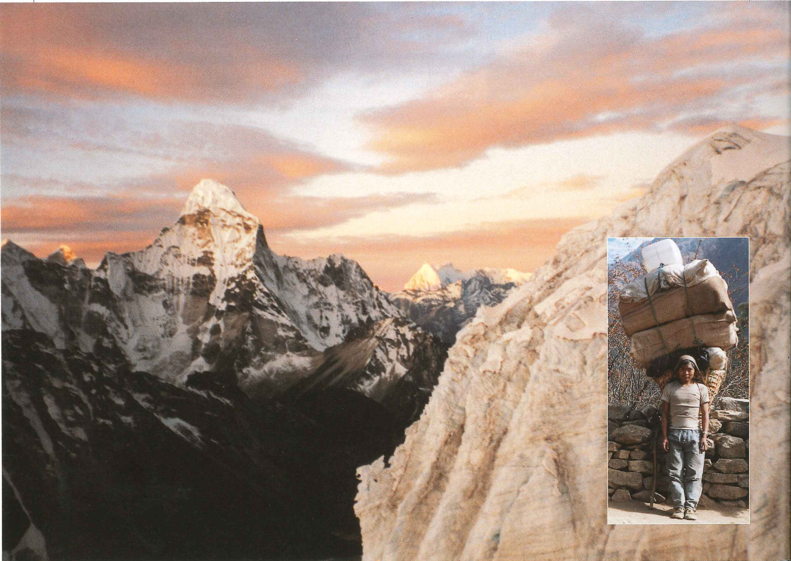
Our first major destination (150 kilometres away) was the village of Namche Bazaar which marks the beginning of the Khumbu region. As its name suggests, this village is an important trading centre. Every Saturday, people gather from all over eastern Nepal and from as far away as Tibet to attend the weekly market. Employing only a large wicker basket and a tumpline, porters carry enormous loads over the trails for sale at this market. Loads can reach up to 150 pounds and include everything from fuel oil to construction material to live chickens. It is not unusual to see children under ten years of age or men and women in their seventies employed in this trade.
Following the trail to Khumbu, Bipin and I traversed a number of steep-walled canyons, crossed several suspension bridges, and traveled through acres of thick rhododendron and oak forests. We also passed numerous stone main walls engraved with Buddhist religious writings. Small villages are located throughout the middle mountains, and many residents offer food and lodging for both trekkers and porters. However, not all guests are welcome as evidenced by the Nepali women I witnessed furiously chasing a water buffalo out of her kitchen. Most of our meals consisted of hot tea and daal bhaat, a nourishing combination of rice and lentils. A single stone fireplace provided the only source of heat for cooking and warmth in these basic dwellings.
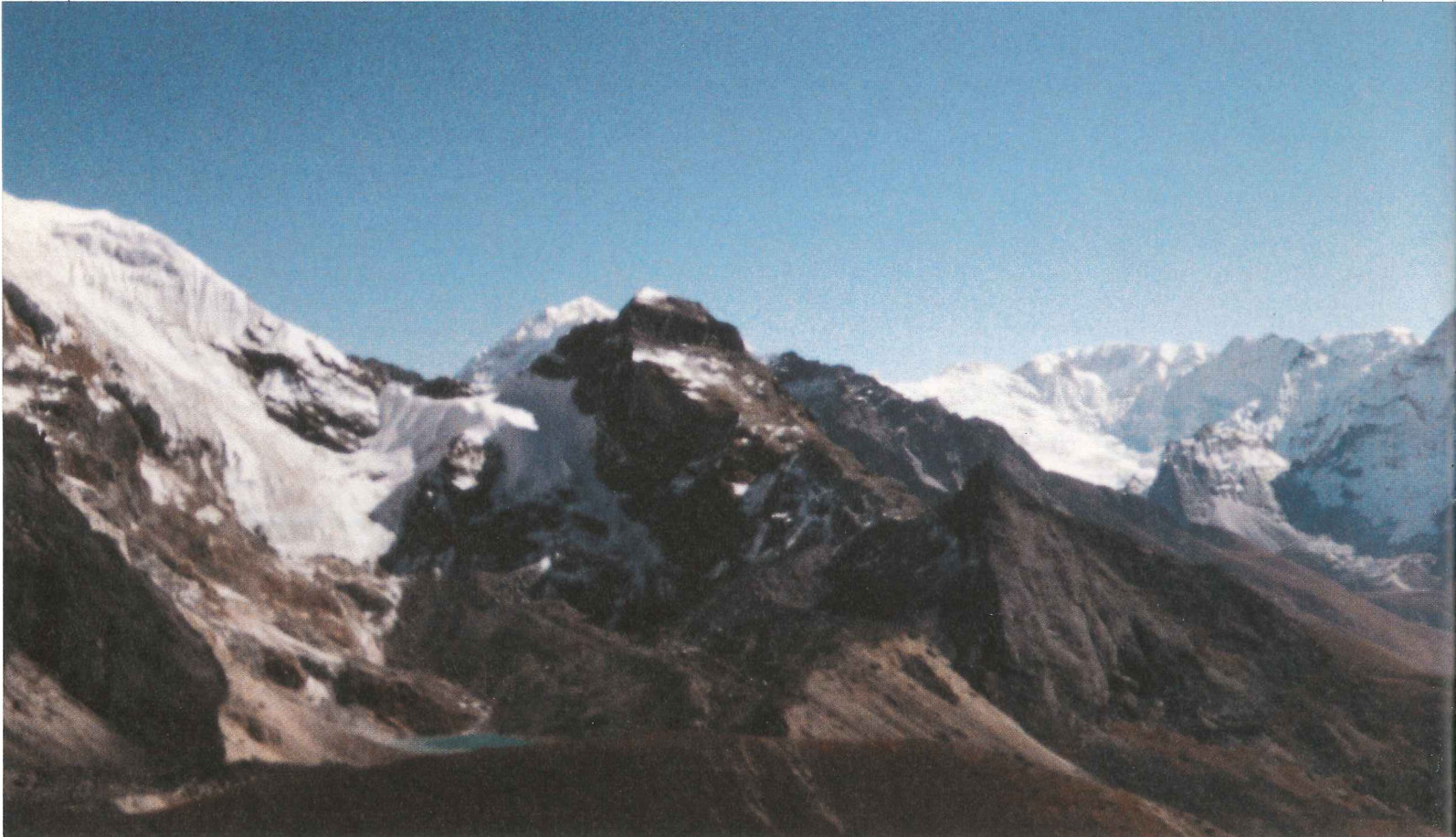
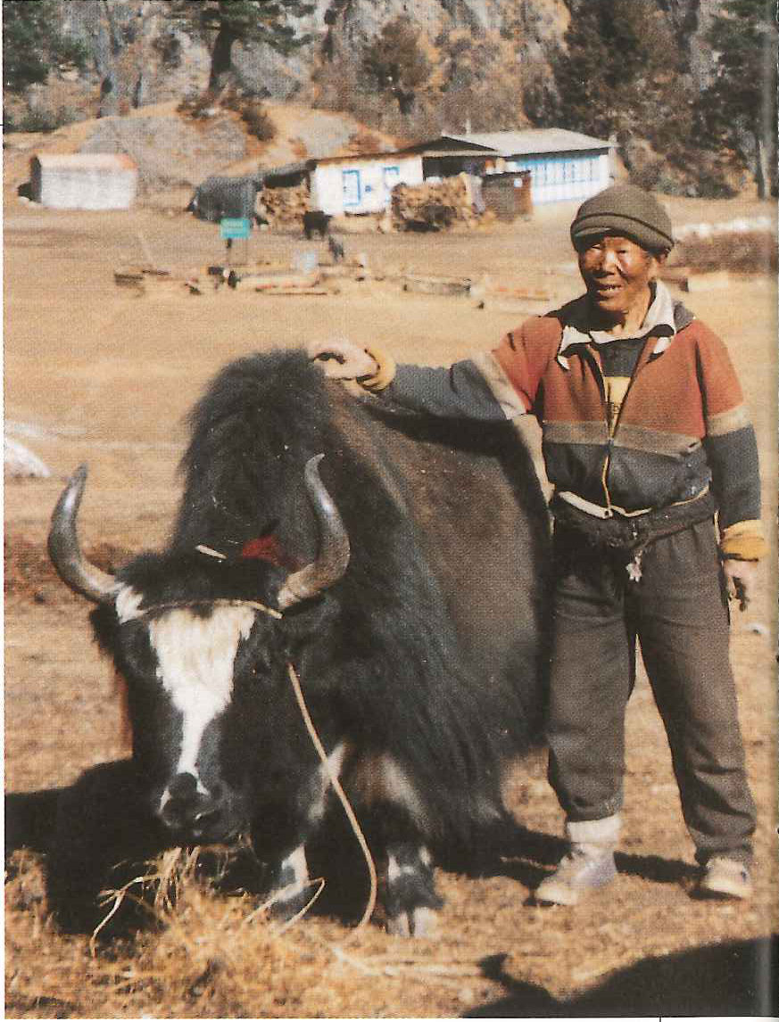
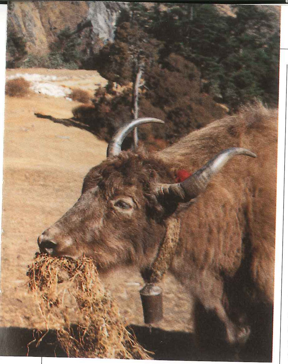
As we approached Namche Bazaar (11,300 feet), more and more snow-topped mountains began to appear on the horizon. Just outside the village, I caught my first distant view of Mount Everest with its distinctive black peak too steep and wind-blown to hold snow. It was about this time that I also came across my first yak, the large woolly beasts that are used to transport supplies at higher altitudes in the Himalayas. Around Namche Bazaar, the terrain changes dramatically from forested hills to alpine meadows and tundra. Snow covered peaks rise majestically overhead. Having picked up our climbing gear and hired a porter in the village, we soon set off to explore the mountains of this region.
Our first significant sojourn in the mountains was the tiny village of Gokyo (15,720 feet), a three day hike from Namche Bazaar. This picturesque village is situated on the shore of a small lake beside the massive Ngozumba Glacier that stretches some thirty kilometres to the north. At the head of this glacier is Cho Oyu (26,750 feet), the sixth highest mountain in the world. From a small peak above Gokyo, we were able to watch the sunset on many of the high mountains of the region including Cho Oyu, Everest, and Lhotse (27,892 feet). In addition to this spectacular view, the area is well known as the abode of the yeti, more commonly known to North Americans as The incredible seeing of lightness — sunrise from abominable snowmen. Although we did not see any signs of such creatures, local legends are replete with stories of past sightings.
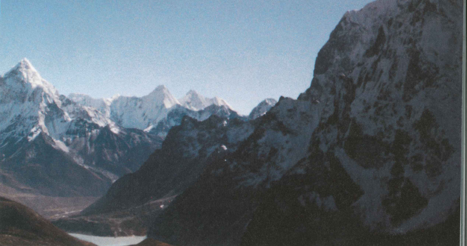
From Gokyo, we began our first serious climb of the trip over the Chola Pass (17,783 feet). Although not technically difficult, the steep and icy trail does require considerable effort. The combination of the high altitude and the steep climb was more than enough to take my breath away. Nevertheless, from the top of the snow-covered pass, we were rewarded with a striking view of the sharp summit of Ama Dablam (22,494 feet) in the next valley. After a steep descent of the other side of the pass, we continued to the tiny village of Gorak Shep (17,000 feet) which lies near the base of Everest. After another steep climb to the windswept top of Kalapather (18,450 feet), a minor peak above Gorak Shep, we were able to get an incredible view of Everest and its neighbouring peaks. It is not surprising that this viewpoint is known as one of the most spectacular in the world.
From Gorak Shep, it was also possible to travel along the Khumbu Glacier to Everest Base Camp. It is from this camp om Imjatse. Inset: Backpacking in Nepal? that most climbing expeditions begin their attempt on the world’s highest mountain. Travel on the loose rock of the glacial moraine was tricky and required frequent detours to avoid deep crevasses along the route. In one area, pressure from below had forced thin pinnacles of ice up through the rock, and I had the distinct impression of walking through a forest of ice trees. In startling contrast to the beauty of this scene, there were a number of large rocks nearby with the engraved names of individuals who had died attempting to climb the mountains above. For someone who was about to climb his first Himalayan mountain, this was a sobering sight.
Four more days of hiking including a climb over the Kongma Pass (18,099 feet) brought us to within view of the mountain I was planning to climb. Imjatse is a 20,305 foot mountain rising to the south of Mount Everest. Although not in the same league as Everest or Cho Oyu, its steep summit ridge still presents a significant challenge to the potential climber. Bipin had previously climbed the mountain, and after over three weeks in the mountains, I hoped that I was sufficiently acclimatized to handle the altitude. From our camp on the mountainside, our plan was to get to the snowline at dawn and hopefully reach the summit by 10:00 am. This strategy would allow us to avoid being on the snow and ice in late afternoon when the risk of avalanche is greatest.
Climbing an unknown mountain in pitch darkness has never been my idea of a good time. Loose rocks, uncertain handholds and footholds, as well as difficulties in route finding are all potentially serious problems that are not helped by the lack of light. Nevertheless, with Bipin’s knowledge of the mountain, the proper equipment, and a slow but steady pace, we were able to reach the glacier at the appointed hour. I have never been much of a morning person and cannot claim to be a qualified expert on sun- rises. However, I find it hard to believe that there could be many sunrises to rival the one that I saw that morning from approximately 19,000 feet. As the sky brightened, mountains emerged from the darkness all around us and then slowly turned from an ominous black to a brilliant orange. During this time, the air was still as if in anticipation of the new day.
Having donned our ice climbing boots, attached our crampons, and fixed our harnesses and ropes, we were ready to begin the next stage of the climb. After several hours of traversing ice and snow and avoiding crevasses, we approached the summit ridge. At this point, the route to the top took a difficult turn, straight up! With Bipin in the lead, we slowly scaled the five hundred foot wall of ice and snow above us. With this challenge behind us, we now had the equally difficult task of negotiating the top of the narrow ridge to the summit. Only a foot wide and with near vertical drops on either side, this final stage of the climb required careful concentration to avoid the tragic results that a misplaced step or momentary loss of balance would bring.
We reached the summit slightly before 11:00 am. Bright sunlight had forced the temperature up to a comfortable 5°C, and an incredible panorama of snow-capped mountains filled the horizon in all directions. It was hard to believe that we were now standing on the summit of the mountain which days before had seemed so distant. After taking some time to enjoy our accomplishment and getting the obligatory photos to mark the occasion, it was soon time to begin retracing our steps. We descended the mountain without incident and spent the next several days hiking back to Namche where I had arranged for a flight back Bazaar and subsequently down to Lukla to Kathmandu.
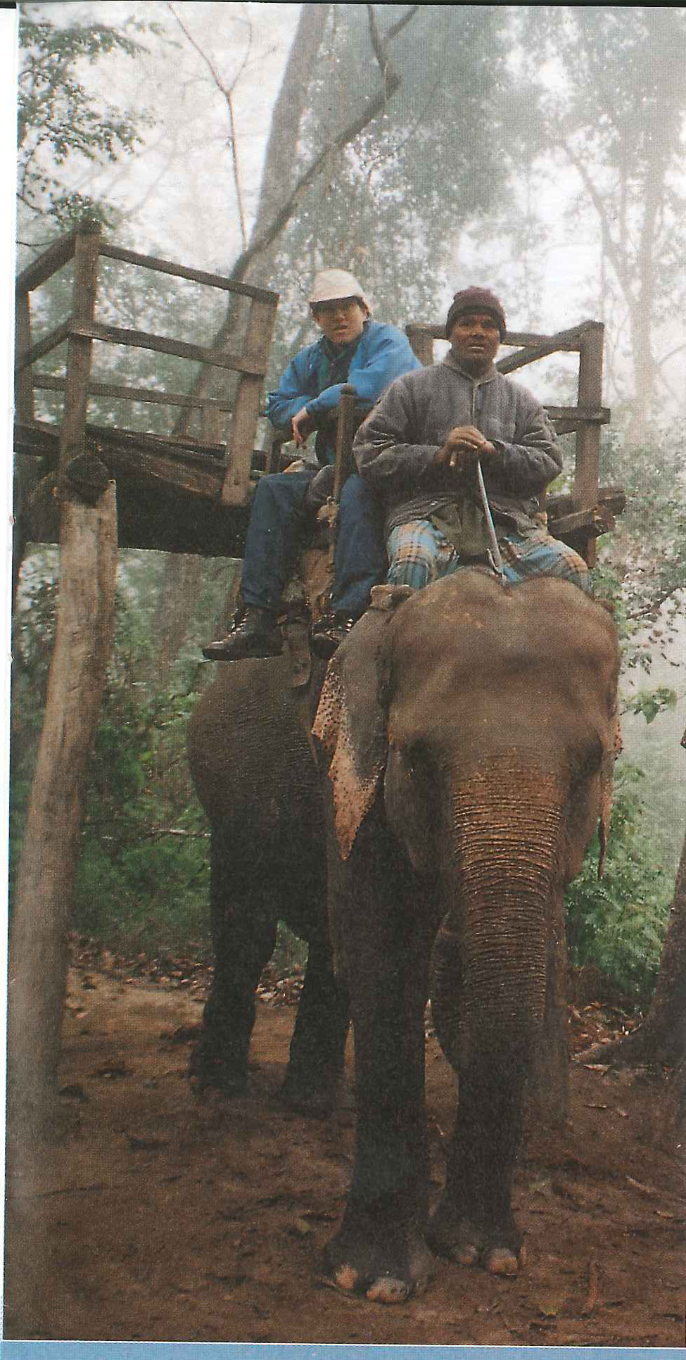
With plenty of time to spare before my return to Canada, I spent the next few days exploring Kathmandu and picking up souvenirs and Christmas presents. I also arranged for a three day trip down to Chitwan National Park on the border with India where I rode into the jungle on the back of an elephant to see rhinos, barking deer, crocodiles, and other wildlife native to the area. Finally, December 23 rolled around, and it was time to return home. After saying good-bye to Bipin, I boarded the flight. A final view of the Himalayas greeted me outside the window as the plane winged its way back to a more familiar part of the world
View the original scanned pages →
Originally published in bout de papier, Vol. 11, No. 3 (1994) — Fall 1994 // Automne 1994, pp. 34–37. Read the rest of this issue →